Project 11 / 2024
Quarry Gardens
Provence, France 43°46'55"N 5°28'11"E
The quarry took 90 years to make this shape. Undoing it would have taken longer than living with it.
Project story
The temptation with a closed quarry is to re-contour it into something pastoral. We kept the cut faces, the haul road and the settling ponds, and worked with the microclimates they had already made.
The result is a garden of five very different rooms within a ten-minute walk: hot south face, cold north face, wet floor, dry terrace, and the shaded gorge between.
Context
Planting is drawn entirely from species already colonising the site — 4,600 plants, none irrigated after their second summer.
Water arrives as it always did, from the north-west face, and is now held in three of the original settling ponds rather than pumped away.
Materiality
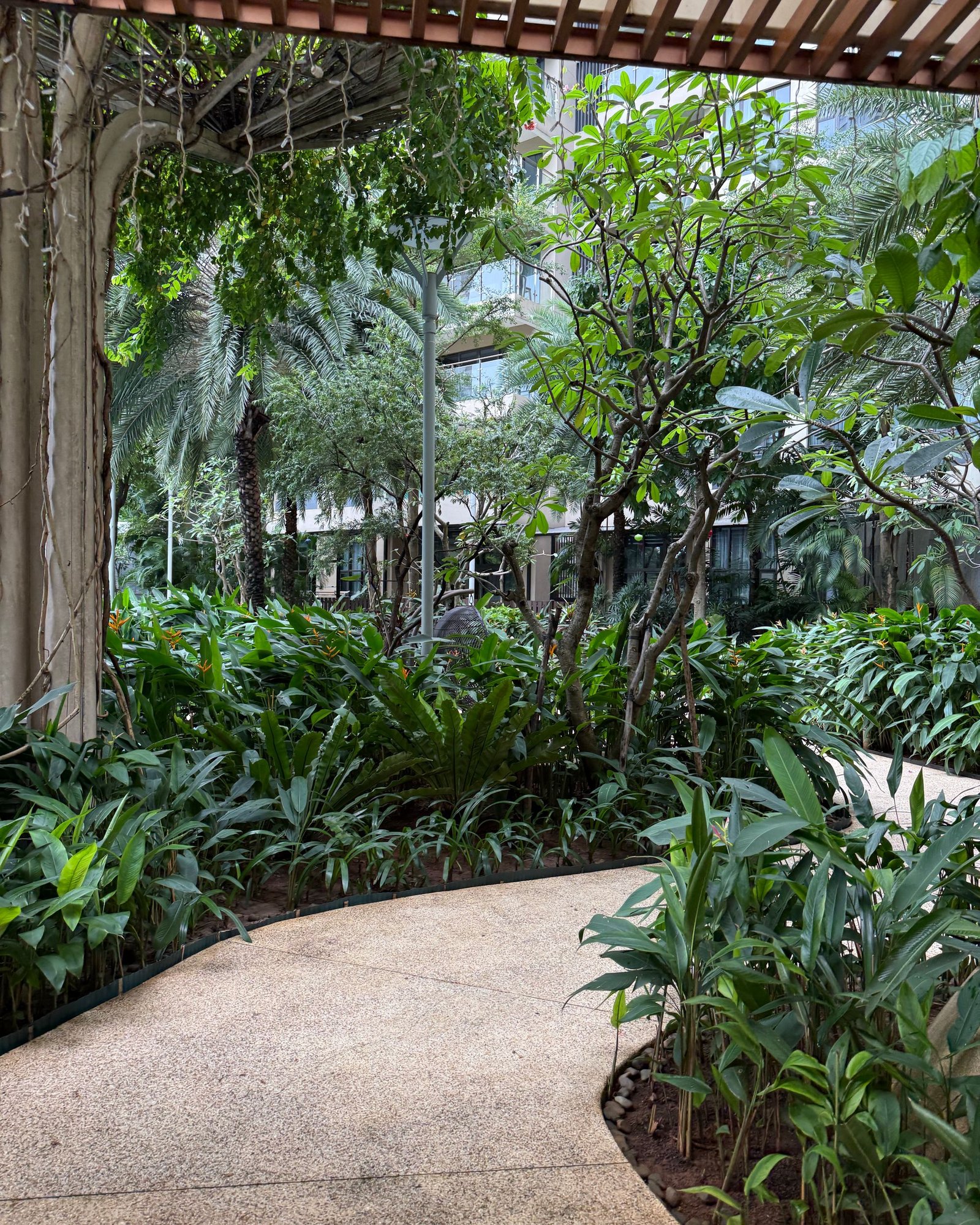
Paths are made from quarry fines that were stockpiled on site, bound and rolled.
The three built structures — shelter, store and lookout — are corten and untreated cedar, sized to be carried in by hand along the haul road.
Spatial experience
The entrance is at the top of the highest terrace, so the whole cut is understood before it is entered.
From the floor of the quarry the walls are 34 metres high and the sky is a hard-edged shape. It is the closest thing in the region to a cathedral.
Drawn from the survey
Contours as found, footprint as built, levels measured from the site datum. North is 20 degrees from page top.
Levels · metres from datum
- +34.000Upper terrace, entrance
- +21.000Haul road, lookout
- +9.000Middle terrace
- ±0.000Quarry floor, ponds